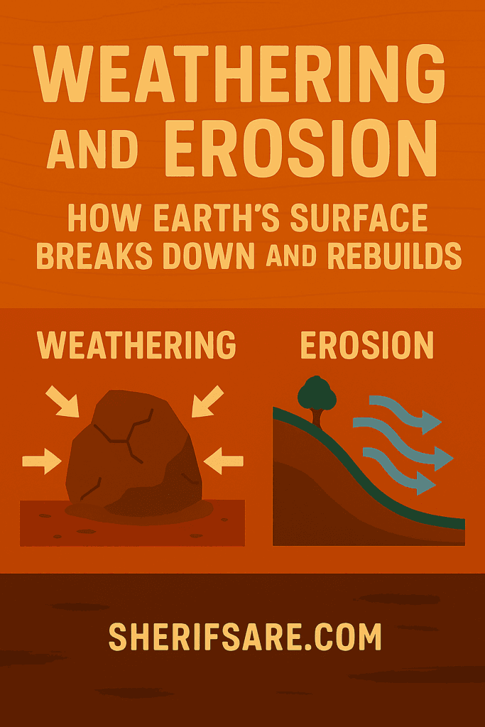
Weathering breaks down rocks where they are.
Erosion moves those broken pieces elsewhere.
Together, weathering and erosion shape every landscape, from mountains to coastlines.
Understanding the Difference: Weathering and Erosion
These two processes are often confused, but they’re distinct:
| Process | What It Does | Where It Happens |
|---|---|---|
| Weathering | Breaks down rocks in place | On the surface or underground |
| Erosion | Transports particles away | Rivers, wind, glaciers, gravity |
Weathering is passive — it weakens and disintegrates.
Erosion is active — it moves and reshapes.
Types of Weathering
1. Mechanical (Physical) Weathering
Breaks rocks into smaller pieces without changing their composition.
- Frost wedging: Water enters cracks, freezes, expands, and splits the rock.
- Thermal expansion: Rocks expand in heat and contract in cold, causing fractures.
- Abrasion: Wind, water, or ice scrape rock surfaces.
Example: Granite boulders in desert climates often crack due to temperature swings.
2. Chemical Weathering
Alters the chemical structure of minerals.
- Hydrolysis: Water reacts with minerals to form new compounds (e.g., feldspar → clay).
- Oxidation: Oxygen reacts with iron-rich rocks, forming rust-like stains.
- Carbonation: Carbonic acid dissolves limestone and marble.
- Acid rain: Sulfur and nitrogen compounds from pollution accelerate rock decay.
Example: Limestone caves form through carbonation over thousands of years.
3. Biological Weathering
Living organisms chemically or physically alter rocks.
- Lichens and mosses: Secrete acids that dissolve minerals.
- Microbial activity: Bacteria can accelerate chemical breakdown.
Example: Tree roots breaking sidewalks or tombstones weathering in humid forests.
Types of Erosion
1. Water Erosion
The most powerful and widespread agent.
- Rain splash: Dislodges soil particles.
- Sheet erosion: Thin layers of soil removed uniformly.
- Rill and gully erosion: Channels carved by flowing water.
- River erosion: Meanders, oxbow lakes, and valleys form over time.
- Coastal erosion: Waves undercut cliffs, forming arches and stacks.
Example: The Volta River system reshapes Ghana’s landscape through sediment transport.
2. Wind Erosion
Dominant in arid and semi-arid regions.
- Deflation: Removes loose particles.
- Abrasion: Sandblasting effect on rock surfaces.
- Dune formation: Sand accumulates in mounds or ridges.
Example: Sahara winds transport dust across West Africa, even reaching the Amazon.
3. Glacial Erosion
Occurs in cold regions with moving ice.
- Plucking: Glaciers lift chunks of rock.
- Abrasion: Rocks embedded in ice scrape bedrock.
- U-shaped valleys: Carved by glacier movement.
Example: Though Ghana lacks glaciers, ancient glacial deposits exist in Precambrian terrains.
4. Gravity (Mass Wasting)
Movement of rock and soil downslope due to gravity.
- Landslides: Sudden collapse of slopes.
- Rockfalls: Free-falling rocks from cliffs.
- Slumps and creeps: Slow, gradual movement of soil.
Example: Hillsides near Akwapim Ridge show signs of creep and minor slumping.
How Weathering and Erosion Shape Landscapes
These processes:
- Create soil from bedrock
- Form valleys, canyons, and coastlines
- Expose mineral deposits
- Influence ecosystems and human settlement
Example: Ghana’s sedimentary basins (Voltaian, Tano, Keta) owe their shape to erosion and deposition.
Weathering and Erosion in Ghana
Key Regions:
- Akwapim-Togo Range: Mechanical weathering dominates due to elevation and rainfall.
- Volta Basin: Chemical weathering of sandstone and shale creates fertile soils.
- Coastal Zone: Wave erosion reshapes beaches and cliffs.
- Savannah Belt: Wind erosion and sheet wash affect soil quality.
Human Impact:
- Deforestation increases erosion.
- Mining exposes rock to rapid weathering.
- Urbanization alters natural drainage, accelerating erosion.
Soil Formation and Sediment Transport
Weathering produces:
- Regolith: Loose rock fragments
- Soil: Organic-rich layers that support life
Erosion transports:
- Sediments to rivers, lakes, and oceans
- Nutrients that enrich floodplains
- Pollutants that degrade water quality
Example: Sediment from gold mining in Birim River affects aquatic ecosystems downstream.
Tools and Techniques to Study These Processes
- Soil pits: Reveal layers and weathering depth
- Sediment traps: Measure erosion rates
- Remote sensing: Tracks landscape changes
- GIS mapping: Visualizes erosion hotspots
- Geochemical analysis: Identifies weathering products
Example: Satellite imagery helps monitor coastal erosion near Ada and Keta.
Mitigation and Management Strategies
To reduce erosion:
- Plant vegetation: Roots stabilize soil
- Terracing: Slows runoff on slopes
- Check dams: Trap sediment in gullies
- Riprap and seawalls: Protect coastlines
- Education and policy: Promote sustainable land use
Example: Agroforestry in northern Ghana reduces wind erosion and improves soil health.
What’s Next
In the next post, we’ll explore Sedimentary Rocks and Fossil Formation — how broken pieces of Earth become layered records of ancient life.